


Basics
- Length:
- 81 miles (130 km)
- Time:
- Allow 2 hours
Description
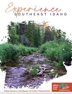
See the first white settlement marked by the Fort Henry Monument, from which this byway gets its name. A new monument now replaces the old one at the original site. The old monument relocated in an adjoining field can be viewed from the original site. This route trails along BLM land, desert and mountain ranges-- where herds of deer and elk, as well as Sharp Tail and Sage Grouse, can be seen as you journey along the Red Road.
This byway crosses Camas Creek and connects to County Road A-2in Clark County at the "Y." Sand Hill Cranes are early spring visitors in the Camas Meadows. Luscious mountain streams are enticing for fisherman, hikers, bikers and campers. Beautiful fields of wildflowers include seasonal Camas which can be seen throughout the Caribou-Targhee National Forest and flat lands.
The heritage of Clark and Fremont counties is very unique and full of early history of mountain men, Indians, including Camas Meadows Battle Grounds, Nez Perce Trails, miners, stage coach lines and early day ranching.