Idaho Map

Pocatello, Idaho - Transportation

Maps, Directions, Airports, Rental Cars, Shuttles,...

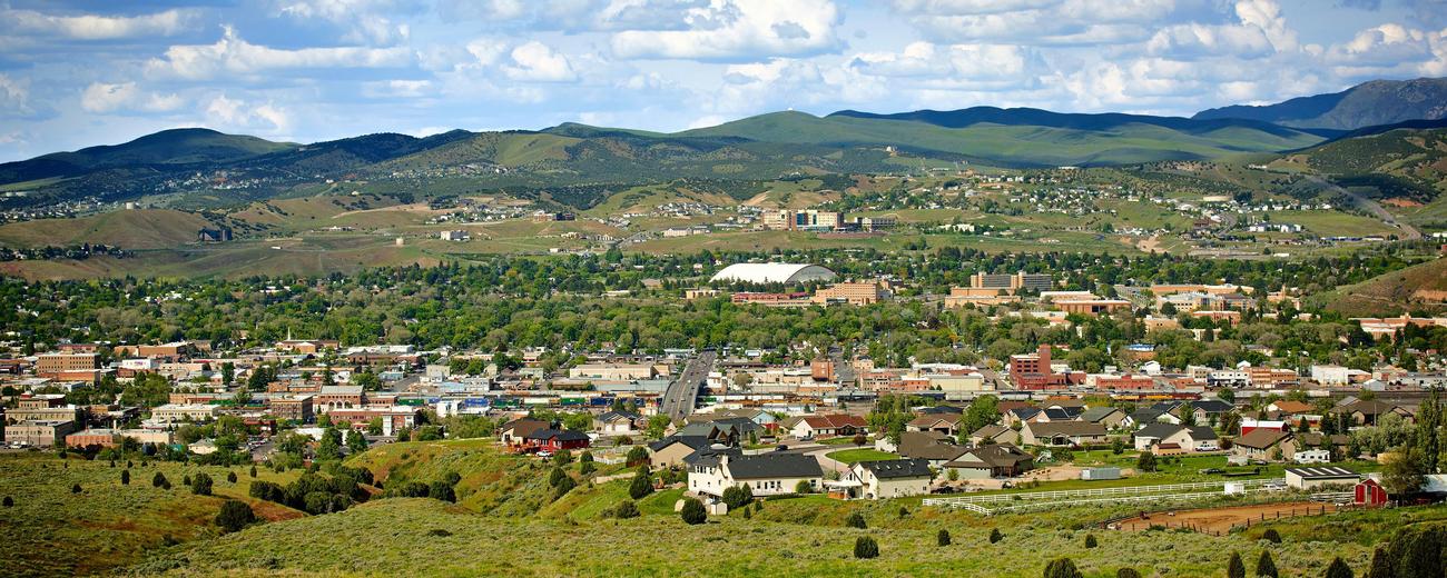
Transportation information for Pocatello is provided below. Travel information includes driving directions, maps, airport information and more.

Results


Loading Results

Request Your Free Travel Planners

Airports

Pocatello Regional Airport offers daily flights to Boise and Salt Lake City (UT). Connections can be made from either of these cities to other hubs around the country.

Pocatello Regional Airport
  • 7 miles NW from Pocatello
  • PIH
  • Public
  • 208-234-6154

Ground Transportation

  • Transportation Services

Enterprise Rent-A-Car Get a free upgrade on your next rental - most Airport Locations. BOOK NOW! Enterprise Rent-A-Car offers great rates and great service. Choose from over 6,500 locations near your home, work or destination.

Basic Directions

Pocatello is located in southeast Idaho, at the junction of I-15 and I-86. The city is 165 miles north of Salt Lake City (UT) and 51 miles south of Idaho Falls on I-15, and 115 miles east of Twin Falls along I-86.

Customizable Directions

Formatted DirectionsMap
Idaho Pocatello BoxElderCounty-skyscraper

Email Page Link

Complete the form below to email this page to a friend or family member's email. You can send yourself an email as well. Your email and your recipient's email will NOT be shared with anyone. See our full Privacy Policy for details.
:
:
:


:
Copy Yourself on the Email Yes No
:
: