Idaho Map

Request Free Visitor Guides

Saddle Mountain

Contact Info
Bureau of Land Management
1103 N Fancher
Spokane, WA 99212

Phone:
509-536-1200

Description

Elevations range from a low of 486 feet at the Columbia River to approximately 2,700 feet at Wahatis Peak to the east. The Saddle Mountains have a gentle southern slope in contrast to the precipitously bold relief of the north-facing cliffs. There are sand dunes on the western toe slopes caused by consistent strong winds along the Columbia River. Vegetation is dominated by big sagebrush and bluebunch wheatgrass. Bluebunch wheatgrass dominates the grass community at the higher elevations and cheatgrass dominates the lower levels.

Map + Directions

Basic Directions

Southern Grant County, 3 miles north of Hwy. 24 extending east and west from the Adams County line to the Columbia River. Take R Road 1 mile east of the town of Mattawa, proceed north 1 mile and cross canal. Continue north on public land access road to BLM administered lands. To access the eastern end of the mountains, take Corfu Road from the north or Wahluke Slope wildlife recreation road from Hwy. 24 on the east.

Customizable Directions


Copyright © 1997 - 2025 The Go Travel Sites. All Rights Reserved and.

Email Page Link

Complete the form below to email this page to a friend or family member's email. You can send yourself an email as well. Your email and your recipient's email will NOT be shared with anyone. See our full Privacy Policy for details.
:
:
:


:
Copy Yourself on the Email Yes No
:
:

1

Select one or more Free Visitor Guides below

2

Complete the form to receive your guides by mail
Visit Idaho Visit Idaho Visit Idaho
IdahoStart planning your Idaho adventure. Vacation is more than just scenery; it’s about making life long memories. Download or order the free Idaho Travel Guide here.
Request this Free Visitor GuideRequested! You're all set! Request a few more Visitor Guides, or complete the form below to receive your guides by mail.
Bear Lake Bear Lake Bear Lake
Northern UtahBear Lake Valley lies on the border of Utah and Idaho, and is home to the "Caribbean of the Rockies", or Bear Lake. Visitors can enjoy a myriad of outdoor activities throughout the entire year.
Request this Free Visitor GuideRequested! You're all set! Request a few more Visitor Guides, or complete the form below to receive your guides by mail.
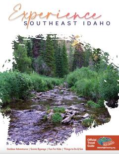
Idaho High Country Idaho High Country Idaho High Country
Southeast IdahoBear Lake and Lava Hot Spring are found in Southeast Idaho, both exciting destinations for travelers from all over. Bear Lake is often called the "Caribbean of the Rockies" due to its vibrant blue color.
Request this Free Visitor GuideRequested! You're all set! Request a few more Visitor Guides, or complete the form below to receive your guides by mail.
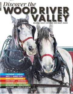
Discover Wood River Valley - Sun Valley Discover Wood River Valley - Sun Valley Discover Wood River Valley - Sun Valley
Mountains All the Best Adventures For those with a High Altitude Attitude. Discover our Award Winning Visitor’s Guide
Request this Free Visitor GuideRequested! You're all set! Request a few more Visitor Guides, or complete the form below to receive your guides by mail.
Box Elder County Box Elder County Box Elder County
Northern UtahBox Elder County is known as a land of contrasts. Visit the the quaint and beautiful town of Brigham City, or get outside and experience any number of outdoor activities within scenic Box Elder County.
Request this Free Visitor GuideRequested! You're all set! Request a few more Visitor Guides, or complete the form below to receive your guides by mail.