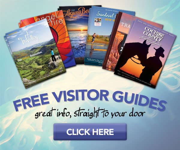
Below are the Free Visitor Guides for Idaho Area. Click here to view all the guides avialable for Idaho.
General Interest Guides
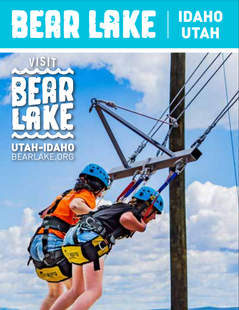
Bear Lake Northern Utah
Bear Lake
Northern UtahBear Lake Valley lies on the border of Utah and Idaho, and is home to the "Caribbean of the Rockies", or Bear Lake. Visitors can enjoy a myriad of outdoor activities throughout the entire year. Request this Free Visitor GuideRequested!You're all set! Request a few more Visitor Guides, or complete the form below to receive your guides by mail.
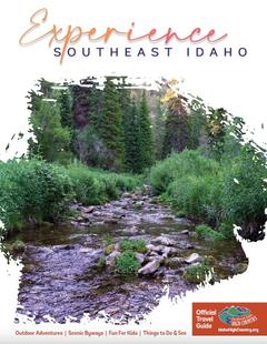
Idaho High Country Southeast Idaho
Idaho High Country
Southeast IdahoBear Lake and Lava Hot Spring are found in Southeast Idaho, both exciting destinations for travelers from all over. Bear Lake is often called the "Caribbean of the Rockies" due to its vibrant blue color. Request this Free Visitor GuideRequested!You're all set! Request a few more Visitor Guides, or complete the form below to receive your guides by mail.
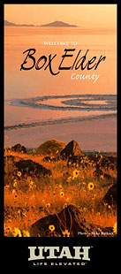
Box Elder County Northern Utah
Box Elder County
Northern UtahBox Elder County is known as a land of contrasts. Visit the the quaint and beautiful town of Brigham City, or get outside and experience any number of outdoor activities within scenic Box Elder County. Request this Free Visitor GuideRequested!You're all set! Request a few more Visitor Guides, or complete the form below to receive your guides by mail.
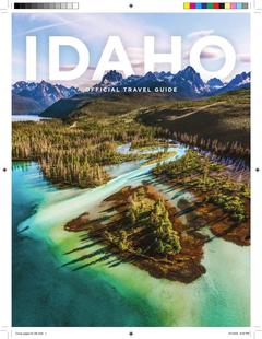
Visit Idaho Idaho
Visit Idaho
IdahoStart planning your Idaho adventure. Vacation is more than just scenery; it’s about making life long memories. Download or order the free Idaho Travel Guide here. Request this Free Visitor GuideRequested!You're all set! Request a few more Visitor Guides, or complete the form below to receive your guides by mail.
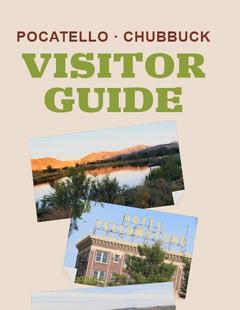
Visit Pocatello Southeast Idaho
Visit Pocatello
Southeast IdahoChallenging rock-climbing, world-class mountain bike trails, disc golf courses and an active Greenway are some of the outdoor offerings right in Pocatello. Learn to squeegee at the world’s only Museum of Clean, stand in awe of saber tooth cats and giant bison at the Idaho Museum of Natural History, float the lazy river at the aquatic center, shop charming Old Town, or see Grizzlies and the animals of Yellowstone up-close at the Pocatello Zoo. Between Salt Lake City and Yellowstone National Park on I-15, it’s an ideal place to spend the night. Visit Pocatello for fantastic dining, attractions, events and lodging. Request this Free Visitor GuideRequested!You're all set! Request a few more Visitor Guides, or complete the form below to receive your guides by mail.
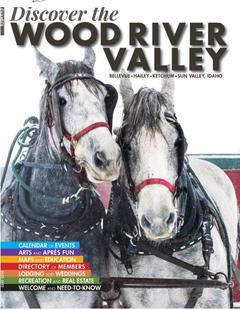
Discover Wood River Valley - Sun Valley Mountains
Discover Wood River Valley - Sun Valley
Mountains All the Best Adventures
For those with a High Altitude Attitude. Discover our Award Winning Visitor’s Guide Request this Free Visitor GuideRequested!You're all set! Request a few more Visitor Guides, or complete the form below to receive your guides by mail.
NOTE: Not all cities are displayed. Please narrow your selection by using the search above.
Official Symbols
A state's official symbols represent the composition and culture of the land and people who live and have lived here. Below are the symbols of Idaho along with the year they became official.
Northern UtahBear Lake Valley lies on the border of Utah and Idaho, and is home to the "Caribbean of the Rockies", or Bear Lake. Visitors can enjoy a myriad of outdoor activities throughout the entire year. Request this Free Visitor GuideRequested!You're all set! Request a few more Visitor Guides, or complete the form below to receive your guides by mail.
Idaho High Country Southeast Idaho
Idaho High Country
Southeast IdahoBear Lake and Lava Hot Spring are found in Southeast Idaho, both exciting destinations for travelers from all over. Bear Lake is often called the "Caribbean of the Rockies" due to its vibrant blue color. Request this Free Visitor GuideRequested!You're all set! Request a few more Visitor Guides, or complete the form below to receive your guides by mail.
Box Elder County Northern Utah
Box Elder County
Northern UtahBox Elder County is known as a land of contrasts. Visit the the quaint and beautiful town of Brigham City, or get outside and experience any number of outdoor activities within scenic Box Elder County. Request this Free Visitor GuideRequested!You're all set! Request a few more Visitor Guides, or complete the form below to receive your guides by mail.
Visit Idaho Idaho
Visit Idaho
IdahoStart planning your Idaho adventure. Vacation is more than just scenery; it’s about making life long memories. Download or order the free Idaho Travel Guide here. Request this Free Visitor GuideRequested!You're all set! Request a few more Visitor Guides, or complete the form below to receive your guides by mail.
Visit Pocatello Southeast Idaho
Visit Pocatello
Southeast IdahoChallenging rock-climbing, world-class mountain bike trails, disc golf courses and an active Greenway are some of the outdoor offerings right in Pocatello. Learn to squeegee at the world’s only Museum of Clean, stand in awe of saber tooth cats and giant bison at the Idaho Museum of Natural History, float the lazy river at the aquatic center, shop charming Old Town, or see Grizzlies and the animals of Yellowstone up-close at the Pocatello Zoo. Between Salt Lake City and Yellowstone National Park on I-15, it’s an ideal place to spend the night. Visit Pocatello for fantastic dining, attractions, events and lodging. Request this Free Visitor GuideRequested!You're all set! Request a few more Visitor Guides, or complete the form below to receive your guides by mail.
Discover Wood River Valley - Sun Valley Mountains
Discover Wood River Valley - Sun Valley
Mountains All the Best Adventures
For those with a High Altitude Attitude. Discover our Award Winning Visitor’s Guide Request this Free Visitor GuideRequested!You're all set! Request a few more Visitor Guides, or complete the form below to receive your guides by mail.
We also have visitor guides available in states highlighted in blue below. Click on any state to see what's available.
Alaska
Arizona
California
Canada
Colorado
Hawaii
Idaho
Louisiana
Michigan
Montana
Nevada
New Mexico
Ohio
Oregon
Texas
Utah
Washington
Wyoming
Switch to Mobile Browser Mode
We offer a compact version of Go-Idaho for mobile users, allowing you to access just the information you need on the road. Of course, you can still use the full version of Go-Idaho on your mobile device just as you can on your desktop.