Idaho Map

Facebook Twitter Google+
Follow The Go Travel Sites on Facebook

Twin Falls, Idaho - Transportation

Maps, Directions, Airports, Rental Cars, Shuttles,...

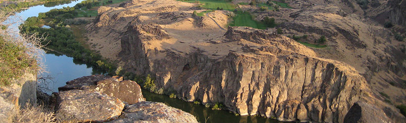
Transportation information for Twin Falls is provided below. Travel information includes driving directions, maps, airport information and more.

travel planner Results
View
Plot just the current page's results    Plot all   results

Loading Results
 

1 travel planner Results

  • Idaho Travel and Tourism

Idaho Travel and Tourism Idaho is all about Adventures in Living. To plan your own adventure vacation, order a free travel guide.

Request Your Free Travel Planners

Airports

The Twin Falls Airport just a few miles outside of town offers several daily flights to Salt Lake City, where connections can be made to hundreds of international destinations.

There is also regular Greyhound bus service to Twin Falls.

Joslin Field - Magic Valley Regional Airport
  • 4 miles S from Twin Falls
  • TWF
  • Public
  • 208-733-5215

Ground Transportation

  • Transportation Services

Enterprise Rent-A-Car Get a free upgrade on your next rental - most Airport Locations. BOOK NOW! Enterprise Rent-A-Car offers great rates and great service. Choose from over 6,500 locations near your home, work or destination.

Basic Directions

Twin Falls is located in south central Idaho, a few miles south of I-84. It is 120 miles from Pocatello to the east, and 128 miles from Boise to the northwest. The Sun Valley area and Ketchum are 80 miles to the north along US 94 and Highway 75.

Customizable Directions

Formatted DirectionsMap

Email Page Link

Complete the form below to email this page to a friend or family member's email. You can send yourself an email as well. Your email and your recipient's email will NOT be shared with anyone. See our full Privacy Policy for details.
:
:
:


:
Copy Yourself on the Email Yes No
:
: