Contact Info
716 West Custer
PO Box 507
Mackay, ID 83251
- Phone:
- 208-588-3400
Basics
- Length:
- 4 miles
- Difficulty:
- Easy,
Intermediate - Time:
- 1 - 2 hours
- Trailhead Elevation:
- 8000 feet
- Season:
- July to October
Description
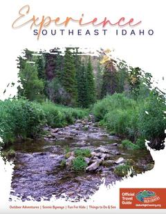
At the gate hiker walks up Old Mine Road to the old mine where the trail begins. The trail contours the hill for about 1 mile then crosses Iron Bog Creek past several streams bordered by willows. Hiker will see alpine fir and aspen trees in this area. The lake is bordered on one side by limber pine, the other by rock formations in various hues of red and blue. The avid fisherman will want to come prepared to spend a little time trying for that "big one". If one is very quiet, deer may come along for a drink.
Details
Length:
Difficulty:
Intermediate
Time:
Trailhead Elevation:
Season:
Additional Details:
Trails Begins: Right Fork of Iron Bog #221 off Iron Bog road #137 from Antelope Road #135.
Trail Ends: Brockie Lake
Conveniences available: There are no modern conveniences and no parking.


