Contact Info
716 W Custer
PO Box 507
Mackay, ID
- Phone :
- 208-588-3400
Basics
- Number of Sites:
- 4 sites
- Elevation:
- 7300 feet
Amenities
Details
Season
June to OctoberElevation
7300 feetBasic Info
- Total Sites:
- 4 sites
Additional Details
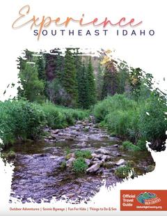
wooded next to a stream
Nearby Areas of Interest: Mill Creek Lake
NOTE: The Mill Creek Trailhead was closed in the fall of 2001. This was done to protect and restore fish habitat in Mill Creek which has been damaged by recreational use. Construction on a new trailhead located about 500 feet southwest of the old location began in the fall of 2001 and work should be completed in the early summer of 2002. The new trailhead has six camping units (each with a fire ring and picnic table), a parking lot, a handicap accessible toilet, and an unloading ramp.
Map + Directions
Basic Directions
From Mackay: Take US Highway 93 south of Mackay 7 miles to the Pass Creek Road. Turn left on the Pass Creek Road. Follow this road 28 miles to the Little Lost/Pahsimeroi Road. Turn left on the Little Lost/Pahsimeroi Road. Follow this road 0.2 miles to the Sawmill Canyon Road. Turn right on the Sawmill Canyon Road. Follow this road to the Mill Creek Road. Turn right on the Mill Creek Road. Follow this road to the Mill Creek Trailhead.
From Arco: Take US Highway 20/26 south of Arco 8 miles to State Highway 22/33. Turn left on State Highway 22/33. Follow this road 16 miles to Howe. Continue straight through Howe onto the Little Lost/Pahsimeroi Road. Follow this road 37 miles to the Sawmill Canyon Road. Turn right on the Sawmill Canyon Road. Follow this road to the Mill Creek Road. Turn right on the Mill Creek Road. Follow this road to the Mill Creek Trailhead.
From Howe: From the Little Lost Store go north onto the Little Lost/Pahsimeroi Road. Follow this road 37 miles to the Sawmill Canyon Road. Turn right on the Sawmill Canyon Road. Follow this road to the Mill Creek Road. Turn right on the Mill Creek Road. Follow this road to the Mill Creek Trailhead.


